
- Lo sguardo territorialista di Leonardo
- Edited by Daniela Poli
Brevi considerazioni sul disegno leonardiano del territorio tra visione olistica e restituzione selettiva dei fenomeni
- Andrea Cantile
- © 2023 Author(s) |
- CC BY 4.0
- DOI: 10.36253/978-88-5518-514-1.08
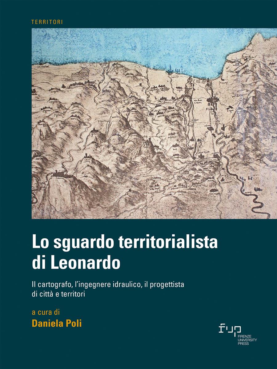
Leonardo’s conception of drawing and painting as a “science”, intended as a means to know material reality, in its application to the cartographic field highlights the Master’s adoption of different criteria for selecting and arranging information content in maps. Considering some significant cases, the text highlights Leonardo’s main contributions to cartography and proposes to consider these discrepancies as the results of an investigative process, in which the permanence and mutability of objects and territorial phenomena are evaluated in close relation with the project.
- Keywords:
- maps,
- eidotypes,
- Leonardo da Vinci’s topographic drawings,
University of Florence, Italy - ORCID: 0000-0001-7340-3052
- Argan G.C. (1985), “5 daghossto, 1473”, in AA.VV., Leonardo. La pittura, Giunti Martello, Firenze, pp. 12-15.
- Bambach C.C. (2009), Un’eredita` difficile: i disegni ed i manoscritti di Leonardo tra mito e documento. XLVIII Lettura Vinciana (Vinci, 14 Aprile 2007), Vinci-Firenze.
- Cantile A. (2003), “Leonardo genio e cartografo”, in Id. (a cura di), Leonardo genio e cartografo. La rappresentazione del territorio tra scienza e arte, Istituto Geografico Militare, Firenze, pp. 299-331.
- Cantile A. (2013), Lineamenti di storia della cartografia italiana, Geoweb, Roma, pp. 195-202.
- Cantile A. (2015), “Brevi note sull’elemento acqua nei disegni cosmografici e cartografici di Leonardo”, in Barsanti R. (a cura di), Leonardo e l’Arno, Pacini, Pisa, 2015, pp. 53-70.
- Cantile A. (2019), “Il disegno leonardiano del territorio: eidotipo, mappa, paesaggio e metafora nel foglio 8P degli Uffizi”, in Barsanti R. (a cura di), Leonardo a Vinci. Alle origini del genio, Giunti, Firenze, pp. 167-183.
- Kish S. (1985), “Leonardo da Vinci: the Map-maker”, in AA.VV., Imago et mensura mundi, Atti del IX Congresso internazionale di Storia della cartografia (Pisa, Firenze, Roma, 1981), Istituto dell’Enciclopedia Italiana, Roma, vol. I, pp. 89-98.
- Marinoni A. (1987), Leonardo da Vinci. Scritti letterari, Rizzoli, Milano (ed. or. 1952).
Chapter Information
Chapter Title
Brevi considerazioni sul disegno leonardiano del territorio tra visione olistica e restituzione selettiva dei fenomeni
Authors
Andrea Cantile
Language
Italian
DOI
10.36253/978-88-5518-514-1.08
Peer Reviewed
Publication Year
2023
Copyright Information
© 2023 Author(s)
Content License
Metadata License
Bibliographic Information
Book Title
Lo sguardo territorialista di Leonardo
Book Subtitle
Il cartografo, l’ingegnere idraulico, il progettista di città e territori
Editors
Daniela Poli
Peer Reviewed
Number of Pages
270
Publication Year
2023
Copyright Information
© 2023 Author(s)
Content License
Metadata License
Publisher Name
Firenze University Press
DOI
10.36253/978-88-5518-514-1
ISBN Print
978-88-5518-513-4
eISBN (pdf)
978-88-5518-514-1
eISBN (xml)
978-88-5518-515-8
Series Title
Territori
Series ISSN
2704-5978
Series E-ISSN
2704-579X