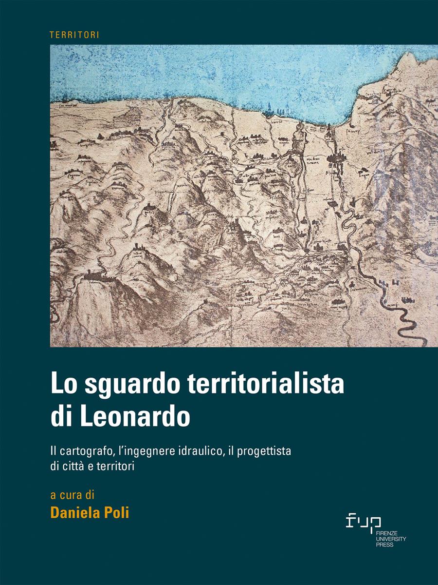
- Lo sguardo territorialista di Leonardo
- Edited by Daniela Poli
Il territorio pontino nei disegni di Leonardo da Vinci
- Laura Carnevali
- Maria Martone
- © 2023 Author(s) |
- CC BY 4.0
- DOI: 10.36253/978-88-5518-514-1.11
The Pontine territory, located in southern Lazio, once ʽpalus pontinaʼ, has been represented over the centuries through iconographic views, cartographic drawings, literary documentation, and designed through reclamation works that allowed, over time, to dry up and anthropize the land. The two moments of representation and design of the Pontine territory are clearly reflected in Leonardo’s Cartographic view of the Pontine plain and the coast north of Terracina, of which the paper presents a critical reading.
- Keywords:
- Pontine marsh,
- Leonardo da Vinci cartographer,
- cartographic and iconographic documentation,
- Cartographic view of the Pontine plain and the coast north of Terracina,
- territorial representation,
Sapienza University of Rome, Italy - ORCID: 0000-0002-3219-3228
Sapienza University of Rome, Italy - ORCID: 0000-0002-3602-9919
- Almagià R. (1935), “La regione pontina nei suoi aspetti geografici. La bonifica delle Paludi Pontine”, in Istituto di Studi Romani. La Bonifica delle Paludi Pontine, Roma.
- Argan G.C. (1982), Storia dell’Arte Italiana, Sansoni, Firenze.
- Cantile A. (2003 - a cura di), Leonardo genio e cartografo: la rappresentazione del territorio tra scienza e arte, Istituto Geografico Militare, Firenze.
- Carnevali L. (2007), “Il contributo della cartografia storica”, in Martone M. (a cura di), La rappresentazione per la conoscenza dell’ambiente urbano e del territorio, Atti del Seminario (Latina, 8 Novembre 2006), Kappa, Roma, pp. 25-32.
- Docci M., Maestri D. (2010), Manuale di rilevamento architettonico e urbano, Laterza, Bari-Roma.
- Frutaz A.P. (1972 - a cura di), Le carte del Lazio, Arti Grafiche Luigi Salomone, Roma.
- Marinoni A. (2006 - a cura di), Leonardo da Vinci. Il Codice Atlantico della Biblioteca Ambrosiana di Milano, Giunti, Firenze.
- Martone M. (2008), “Il territorio pontino tra rappresentazione e progetto nei disegni di Leonardo da Vinci”, in Ead. (a cura di), I segni della bonifica sul territorio pontino, Atti del Seminario (Latina, 16 Gennaio 2008), Kappa, Roma, pp. 11-18.
- Martone M. (2012), Segni e disegni dell’Agro Pontino. Architettura, città, territorio, Aracne, Roma.
- Tarquini S., Isola I., Favalli M., Battistini A. (2007), TINITALY, un modello digitale di elevazione dell’Italia con cella di 10 m (Versione 1.0) [Data set], Istituto Nazionale di Geofisica e Vulcanologia, Roma.
- Zöllner F. (2007), Leonardo da Vinci, Taschen, Köln.
Chapter Information
Chapter Title
Il territorio pontino nei disegni di Leonardo da Vinci
Authors
Laura Carnevali, Maria Martone
Language
Italian
DOI
10.36253/978-88-5518-514-1.11
Peer Reviewed
Publication Year
2023
Copyright Information
© 2023 Author(s)
Content License
Metadata License
Bibliographic Information
Book Title
Lo sguardo territorialista di Leonardo
Book Subtitle
Il cartografo, l’ingegnere idraulico, il progettista di città e territori
Editors
Daniela Poli
Peer Reviewed
Number of Pages
270
Publication Year
2023
Copyright Information
© 2023 Author(s)
Content License
Metadata License
Publisher Name
Firenze University Press
DOI
10.36253/978-88-5518-514-1
ISBN Print
978-88-5518-513-4
eISBN (pdf)
978-88-5518-514-1
eISBN (xml)
978-88-5518-515-8
Series Title
Territori
Series ISSN
2704-5978
Series E-ISSN
2704-579X
